Geographic co-ordinates and position
Skyros, “the heart of the Aegean”, is the largest island of the Northern Sporades with an area of 215 square kilometers and a permanent population of approximately 3,500 inhabitants.
It is located approximately in the middle of the eastern coast of Evia 23 miles northeast of Kymi and 26 miles south of Alonissos.
Administratively, Skyros falls under the Prefecture of Evia and is a Municipality.
Around Skyros there are many smaller islands. Some of them are used as pastures while at the same time, this mosaic of land and sea is a wonderful fishing spot. Indicatively, we mention Skyropoula, Sarakiniko, or Despot’s Island, Rinia, Platia, and Koulouri. There are also many desert and rock islands such as Vrachonisia in Achilli, Ai Armolaos, Diavates, Aloni, Myrmigonisia, Kamiles, Vrykolakonisia, and others.
The island of Skyros consists of two mountain masses, which are separated approximately in the middle by a flat strip 3.5 km long and 2.5 km wide. This strip, which was once submerged in the sea, starts from Achilli, and reaches Kalamitsa, dividing the island into the northwest and southeast parts.
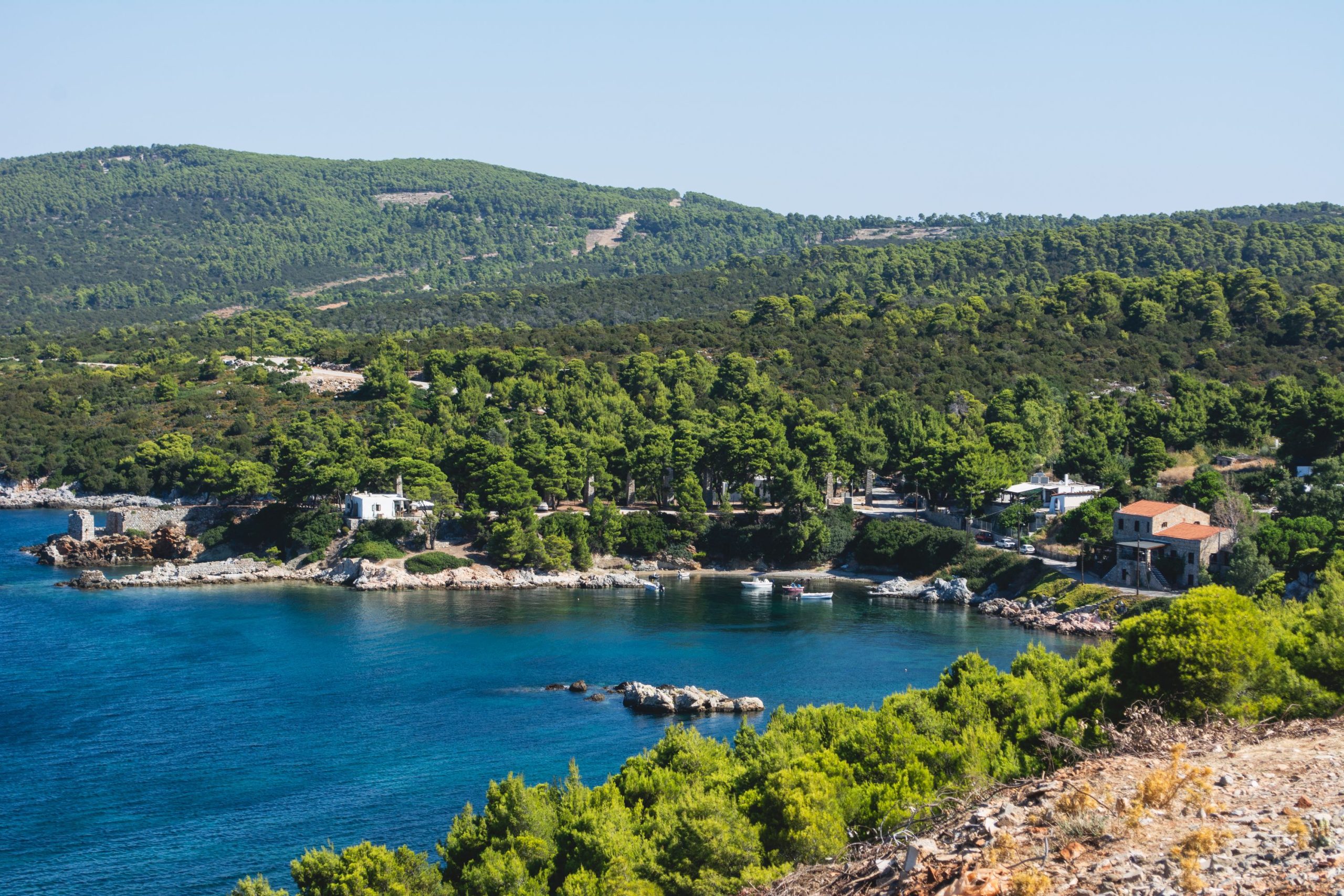
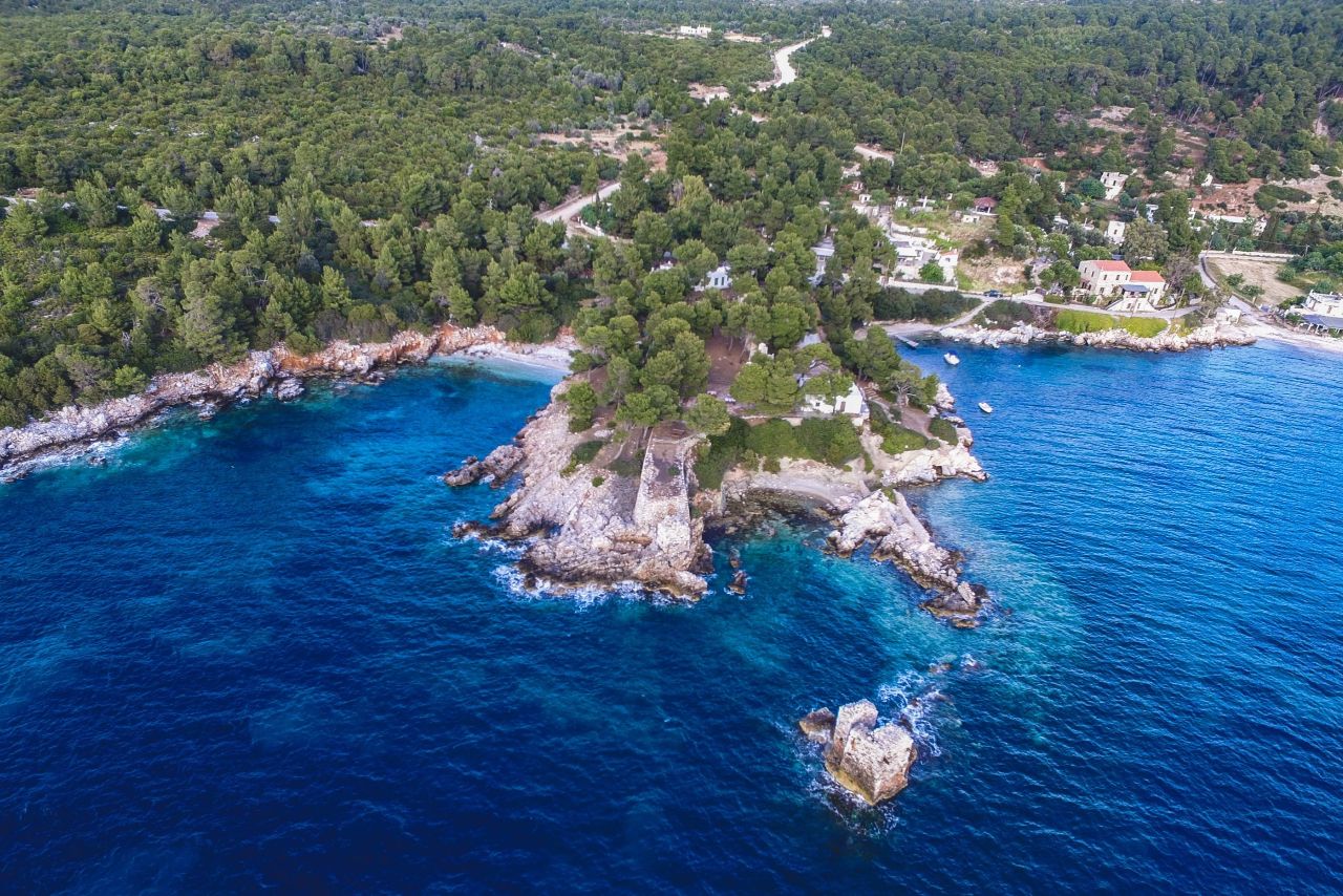
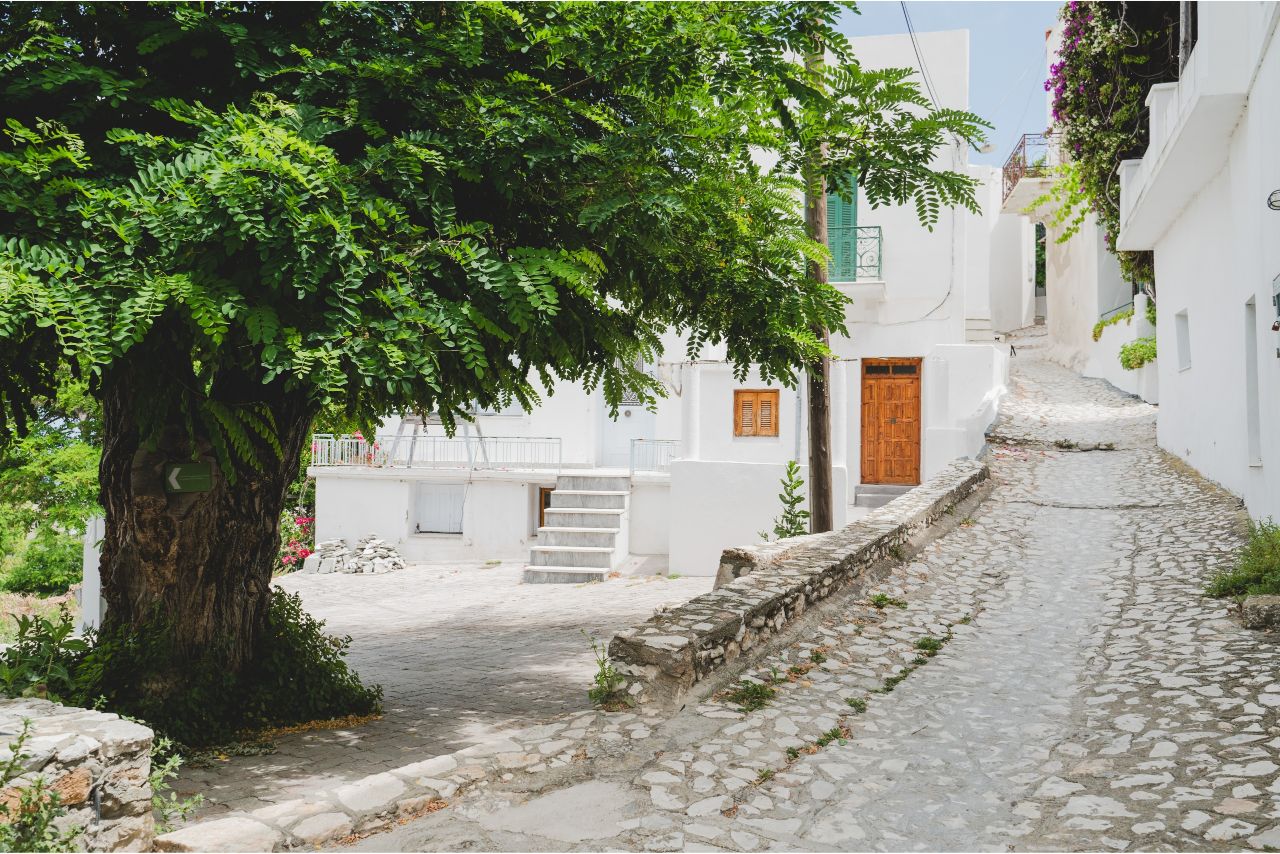
The northwestern part of Skyros is relatively flat and fertile, with springs, plenty of vegetation, and full of pine forests.
Learn More…
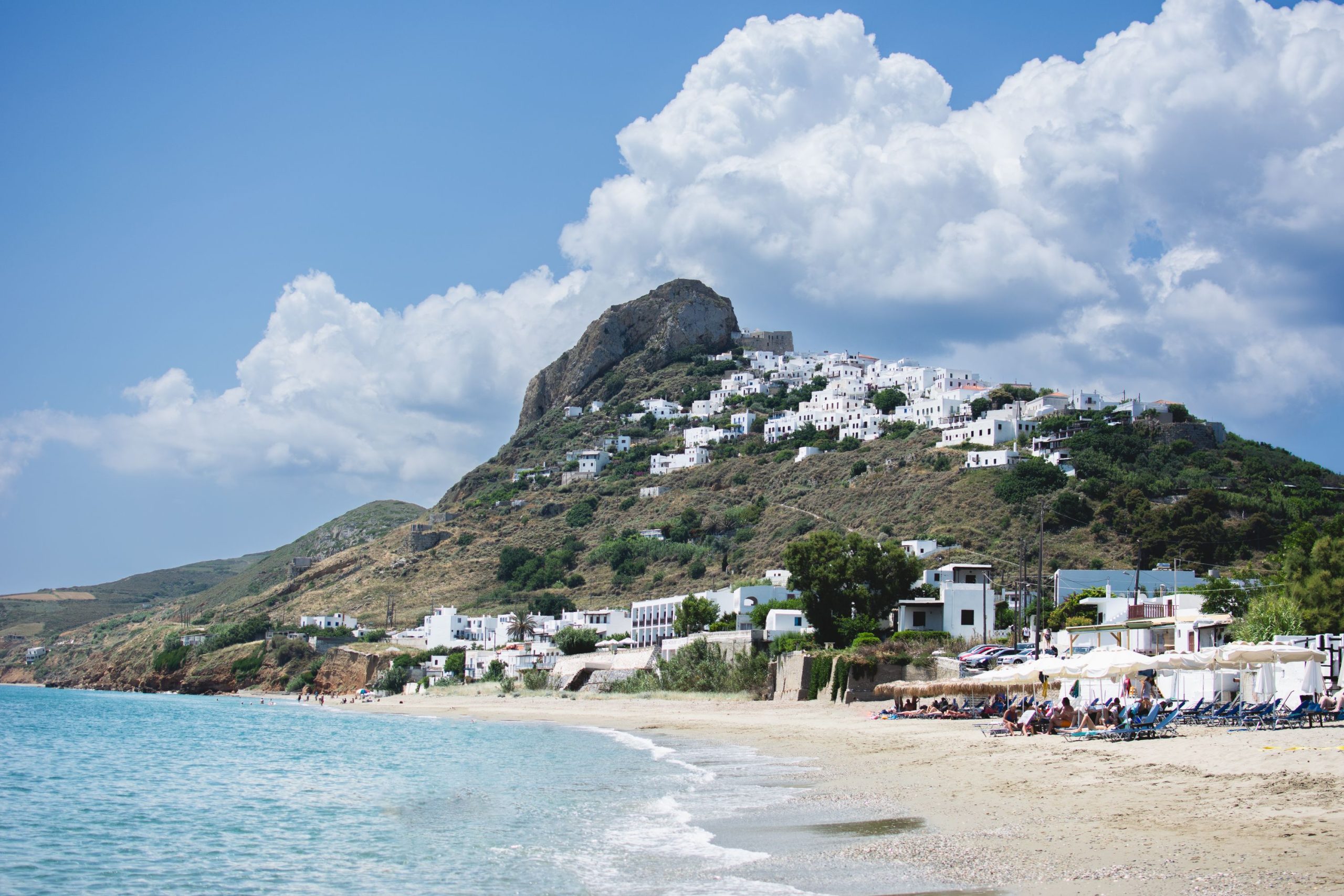
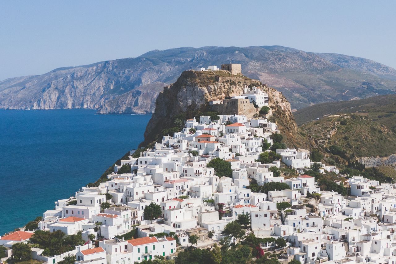
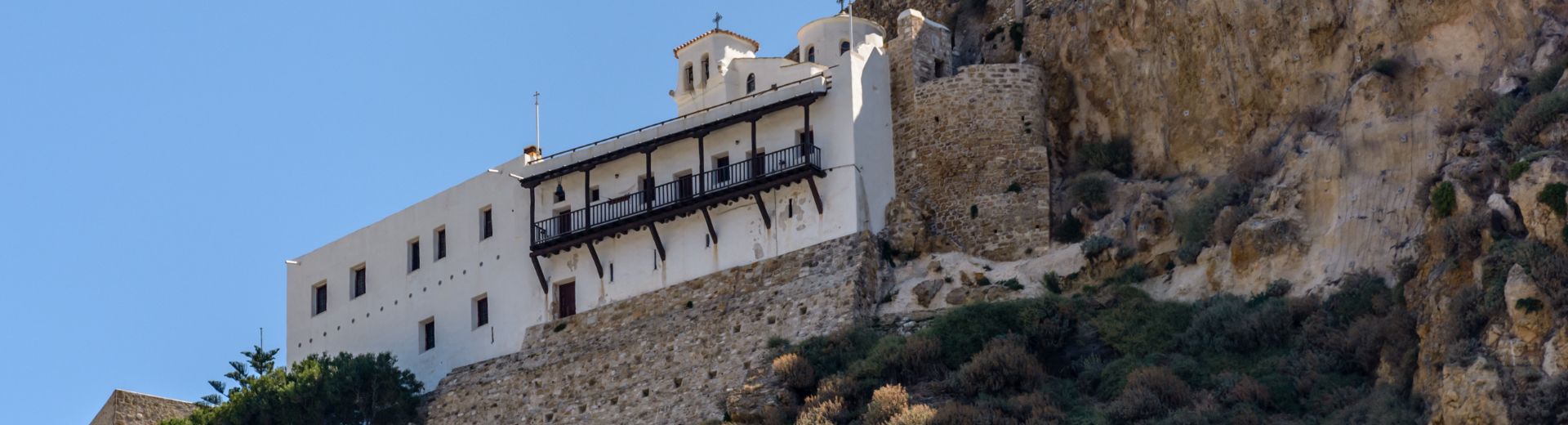
On the other hand, the southeastern part of the island is mountainous and barren. The Skyrians call this section “Mountain”, not because of its height, but because it is all stone. Thousands of goats and sheep graze in the “Mountain” and the famous in Greece and foreign small Skyrian horses hibernate.
We could mention several islands like Skyropoula, Sarakiniko or the Island of the Despot, Renea, Plateia and Koulouri. There are also a lot of desert islands as well as some rocky islands such as Vrahonissia in Achilli, St. Armolaos, Diavates, Aloni, Myrmigonissia, Cameles, Vrykolakonissia etc.
The island of Skyros consists of two massifs; between these massifs, there is a level ground that stretches for 3,5 kilometres and is 2,5 kilometres in width.
This level ground, which once was sunk in the sea, begins from Achilli and goes up to Kalamitsa, dividing the island in the north-western and south-eastern parts. The north-western part of Skyros is relatively level and fertile, with spring sources, a profuse vegetation and it is full of pinewoods.
On the contrary, the south-eastern part of the island is mountainous, stony and barren. The people of Skyros call this part of the island “the Mountain”, not for its altitude, but because it is completely stony.